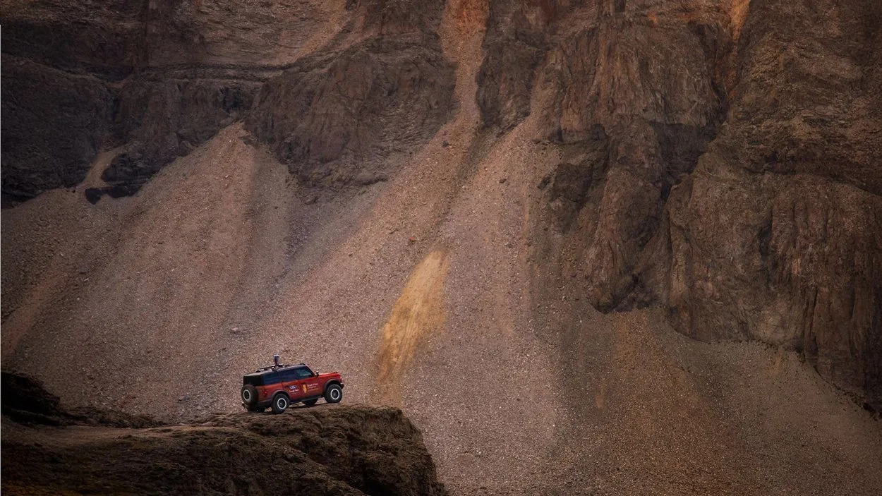
From Oregon to North Carolina.
32 days. 13 states. 5,900+ miles.
Taking Street View Off-Grid.
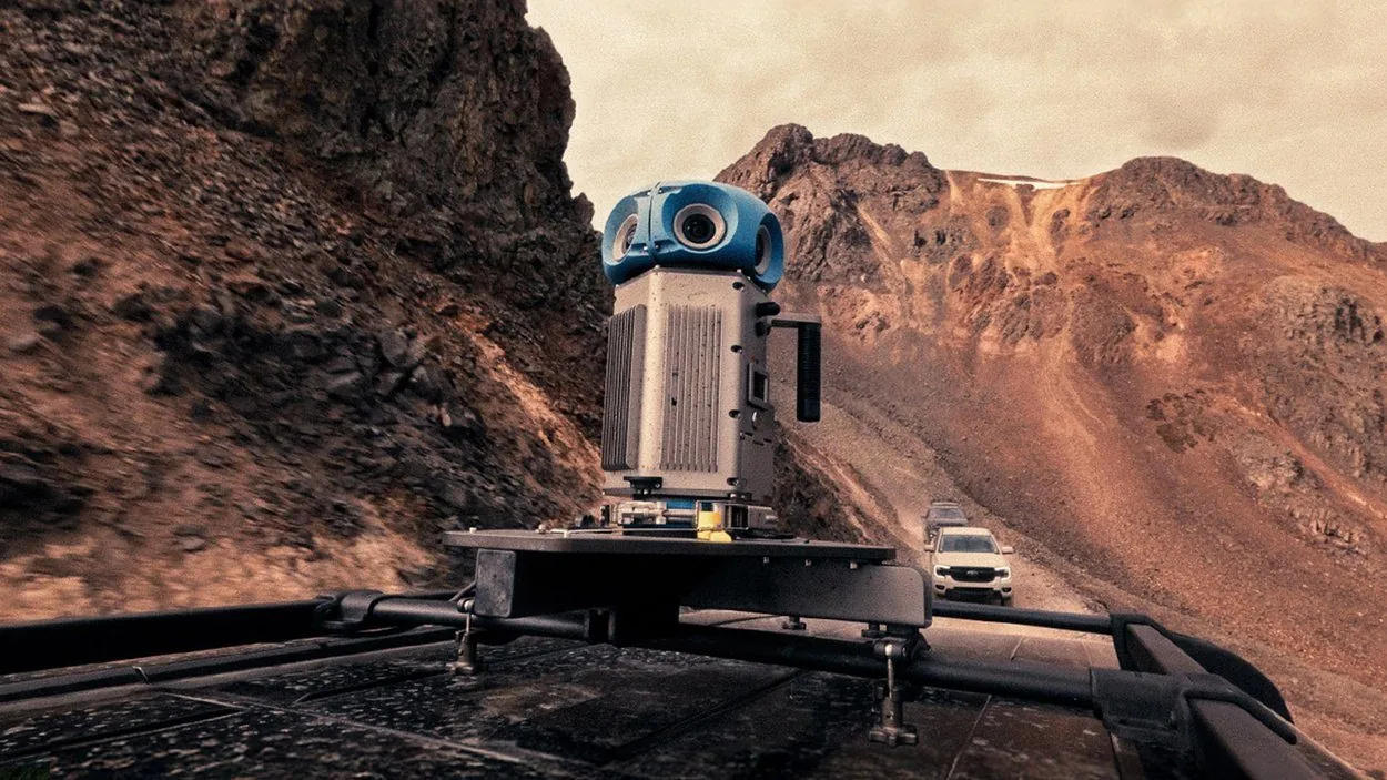
GPS, LiDAR and real-time depth captured thousands of geotagged panoramic images–several terabytes of raw data across unstable and unmapped terrain.
Easter eggs, IYKYK.
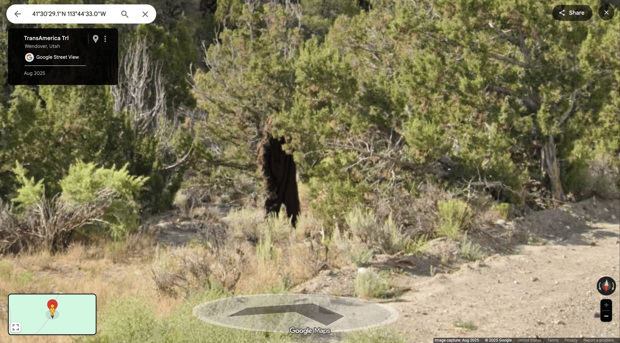
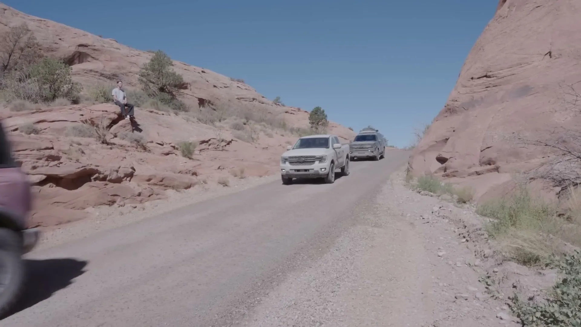
Sasquatch in three states, strangers welcoming you at state lines, and GeoGuessr star Rainbolt on a rock in Moab.
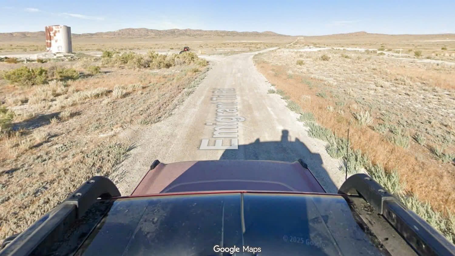
For the first time, the whole coast-to-coast trail is on Street View.
- 3x searches for “TransAmerica Trail”
- 10% lift in Ford’s capability perception